Planning Report
A Planning Report was prepared to review and assess the proposed pit expansion relative to provincial, Region of Waterloo and Township of North Dumfries land use planning policies and regulations. The Planning Report also includes a Summary Statement as required by the ARA which outlines a description of the proposed expansion, agricultural classification of the expansion site, the quality and quantity of aggregate resources, and the proposed progressive and final rehabilitation plans.
The Official Plan (OP) for the Region of Waterloo designates the proposed expansion site as ‘Prime Agricultural Area’. The subject property is also identified as ‘Mineral Aggregate Resource Area’ on OP Map No. 8. These designations are also reflected in the Official Plan for the Township of North Dumfries. Mineral Aggregate extraction is a permitted use in the Prime Agricultural Area, both within and outside the Mineral Aggregate Resource Area, subject to the policies of the OP. An Official Plan Amendment for the proposed expansion is not required.
Review of applicable land use policies and the conclusions of the technical reports completed confirm that the proposed expansion will represent sustainable resource stewardship and management of land that meets economic, environmental and cultural objectives. The proposed expansion is consistent with the relevant policies of the Region of Waterloo OP and the Township of North Dumfries OP.
Report Download Link:
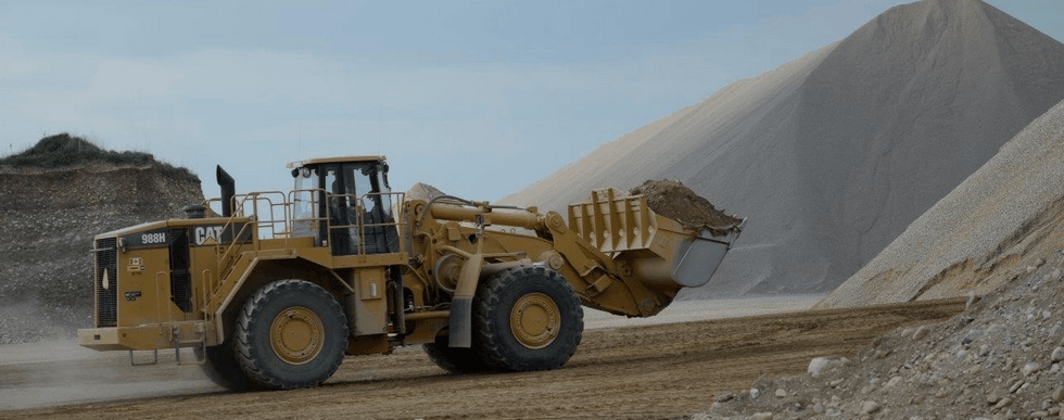
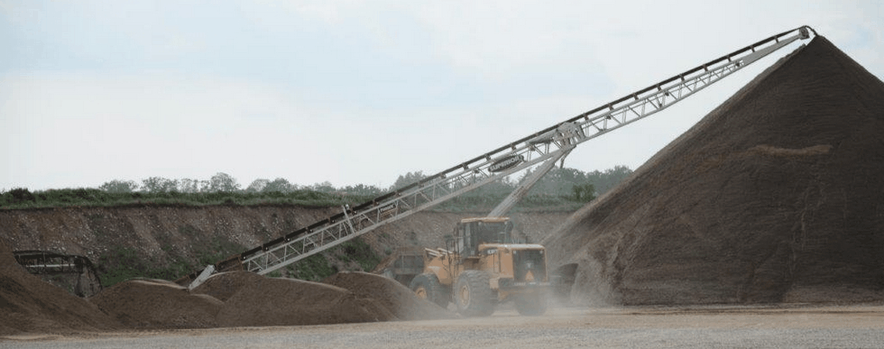
Site Plans
As required by the ARA, site plans have been prepared which identify the existing features on and adjacent to the proposed expansion site, the operational requirements and conditions for the pit, and how the proposed expansion site will be rehabilitated.
Download links:
- CBM Dance Pit Expansion Site Plans – 2023 Revised Site Plans
- CBM Dance Pit Expansion Site Plans – May 2021 – 3.4 MB
Water Resources
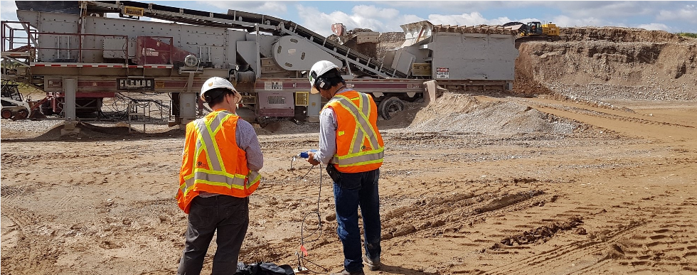
The purpose of the water resources assessment is to characterize the existing hydrogeological and hydrological conditions in the vicinity of the site and how they relate to the surrounding natural environment, and to assess potential impacts, if any, that the proposed above-water extraction would have on surface water and groundwater in the area. The assessment involved establishing baseline (current) surface water and groundwater conditions and completing an impact assessment considering proposed operational and rehabilitated site conditions. The completed tasks include a review of available and relevant historic data, a field data collection program, a survey of local groundwater users, and an assessment of the potential impact of the proposed above-water extraction on the surrounding groundwater and surface water receptors, including any creeks, streams, and nearby groundwater wells.
The assessment concluded that no neighbouring groundwater users will be affected by the extraction of the resource on-site since extraction will be limited to staying 1.5m above the seasonally high measured water table. In addition, the assessment concluded that there will be no groundwater drawdown and that there are no expected adverse impacts to baseflow, available groundwater quantity, or groundwater quality.
There are no permanent surface water features on the proposed expansion site. Off-site, there is an open water marsh, located approximately 80 m northeast of Cedar Creek Road. The assessment concluded that there are no expected impacts to any off-site surface water features, including this marsh.
Groundwater level monitoring will be implemented for the life of the pit.
Report download links:
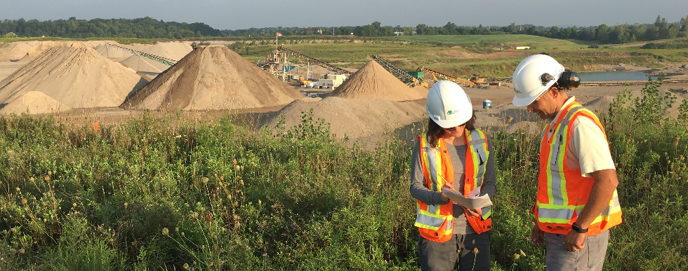
Natural Environment
The purpose of the natural environment study is to assess potential environmental impacts of the proposed aggregate extraction on the site with respect to the environmental features and functions in the study area (the site and adjacent lands), the potential effects on the natural environment, and the rehabilitation potential of the site. The assessment was undertaken for potential ecological impacts under the Aggregate Resources Act (ARA) Provincial Standards, the Provincial Policy Statement, Growth Plan for the Greater Golden Horseshoe, policies of the Region of Waterloo, City of Cambridge, and Township of North Dumfries, as well as other relevant legislation, including the Endangered Species Act. The study area includes the site and surrounding 120 m boundary as defined in the Aggregate Resources of Ontario Standards, Section 2.2.
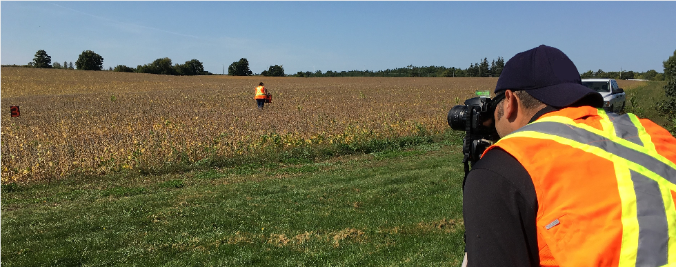
The investigation of existing conditions in the study area included a background information search and literature review to gather data about the local area and provide context for the evaluation of the natural features. An assessment was conducted to determine which species at risk (SAR) had potential habitat in the study area. The habitats and communities on the site were characterized through field surveys. The surveys were conducted from May to September 2016 and involved breeding bird surveys, general wildlife surveys, ecological land classification and botanical inventory, SAR habitat confirmation with the Ministry of Northern Development, Mines, Natural Resources and Forestry (NDMNRF), and a tree inventory.
The natural environment study concluded that no significant natural heritage features, including species at risk, occur on the site or the study area that have potential to be adversely impacted by the proposed pit expansion.
Since there will be no extraction below the water table and no alteration to drainage on the site, interference with the function of potential groundwater-dependent natural environment features in the study area as a result of the proposed expansion is not predicted.
Report download links:
Archaeology
A Stage 1 archaeological assessment was completed for the site. The Stage 1 assessment compiled all available information about the known and potential archaeological resources on the site and provided direction for the protection, management and/or recovery of these resources, consistent with the Ministry of Heritage, Sport, Tourism, and Culture Industries guidelines. The Stage 1 assessment found potential for pre- and post-contact Indigenous and historical Euro-Canadian archaeological resources on the site and recommended a Stage 2 archaeological assessment, which includes field surveys to further assess archaeological potential.
The objectives of the Stage 2 archaeological assessment were to provide an overview of archaeological resources on the property and to determine whether any of the resources might be artifacts and archaeological sites with cultural heritage value or interest and to provide direction for the protection, management and/or recovery of these resources. Areas on the site recommended for Stage 2 assessment were surveyed by means of pedestrian surveys and shovel test pitting in November 2016. The Stage 2 survey involved participation by archaeological field liaisons from Mississaugas of the Credit First Nation and Six Nations of the Grand River.
The Stage 2 archaeological assessment resulted in the identification of three pre-contact Indigenous findspots. Given the isolated nature of the three findspots, the cultural heritage value or interest of the expansion site was considered to be sufficiently documented, and no further archaeological assessment was recommended for the site.
Report download links:
Noise
A noise impact assessment for the proposed expansion site was completed to identify potential effects on sensitive receptors. Golder established sound level limits according to Ministry of Environment, Conservation and Parks (MECP) noise guidelines and compared the predicted noise levels of the proposed expansion at the identified Points of Reception (PORs) in the vicinity of the site. The noise analysis indicates that sound emissions from future extraction operations are expected to meet MECP sound level limits at all PORs.
Report download links:
Air Quality
An assessment of potential air quality impacts associated with the Dance Pit Expansion was completed based on modelling of maximum emissions from the proposed expansion site, a cumulative modelling assessment considering additional sources of air emissions in the immediate vicinity of the proposed expansion site, and the addition of ambient monitoring data to represent regional background air quality.
The expansion area will include a berm and vegetation, which will act as a wind break and is thus expected to further reduce concentrations of dust at locations to the east of the expansion area. The implementation of best management practices identified within the air quality assessment report can also help to reduce dust generation further.
The results of the air quality impact assessment for the Dance Pit Expansion are conservative and indicate that the maximum predicted cumulative emissions (i.e., including background and impacts from surrounding pits) are predicted to be below the criteria at surrounding sensitive receptors with the proposed expansion site resulting in a very small impact in maximum predicted air quality concentrations.
Report download links: